CULTIVATION IN RIO GRANDE DO SUL
Irani uses a georeferenced mapping system for all its Forest Plantations in the forest areas of Rio Grande do Sul, based on satellite imagery and the Arcview software package.
This system is very important for us to plan, manage and carry out forestry operations.
The mapping system identifies and measures the property boundaries, the plantation areas, the borders of plots, the roads and fire breaks, water resources, improved areas, native forests and anything else important to forest management. The information also helps us to comply fully with current legislation and the Company’s Environmental Policy.
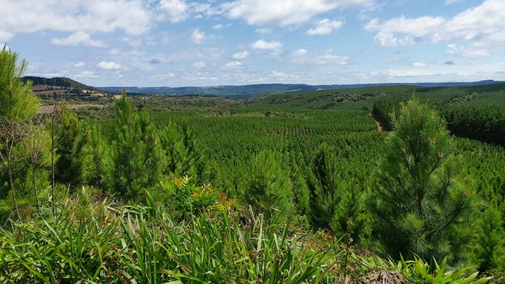
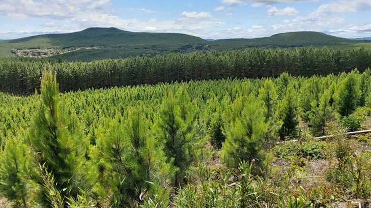
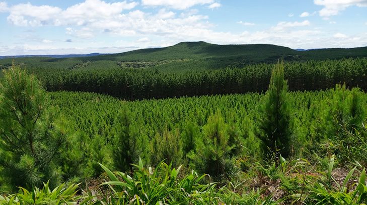
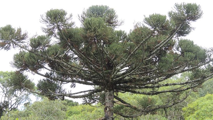
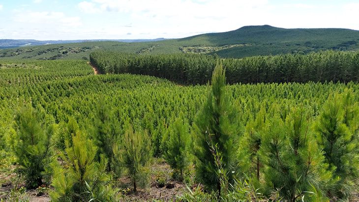
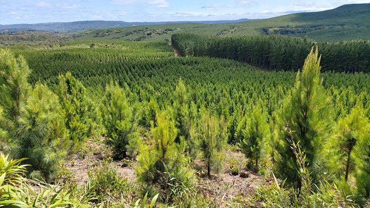
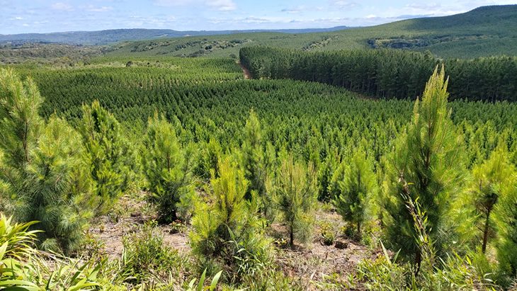
The plantations in Rio Grande do Sul essentially consist of Pinus elliottii, which are managed and cultivated to produce solid timber and resin.
Where the original forest has been cleared and it is being used for plantations, the forest is managed in a way to enable the forest to regenerate naturally through newly grown Pine saplings. In exceptional cases, the company needs to encourage new or denser planting by adding seedlings.
These are produced in a staggered manner, to suit the Company’s commercial requirements, for quantity and quality.
During the cycle and as part of the final harvesting phase, the forests are assessed to decide how best to regenerate them.
We consider the quality and productivity of the original forest and the degree of quality and intensity for the potential regeneration.


